Orchard Road and the city's covered shopping streets
Where the city does its shopping, from the Orchard Road belt to the covered market at Bugis and the streets of Kampong Gelam and Little India.
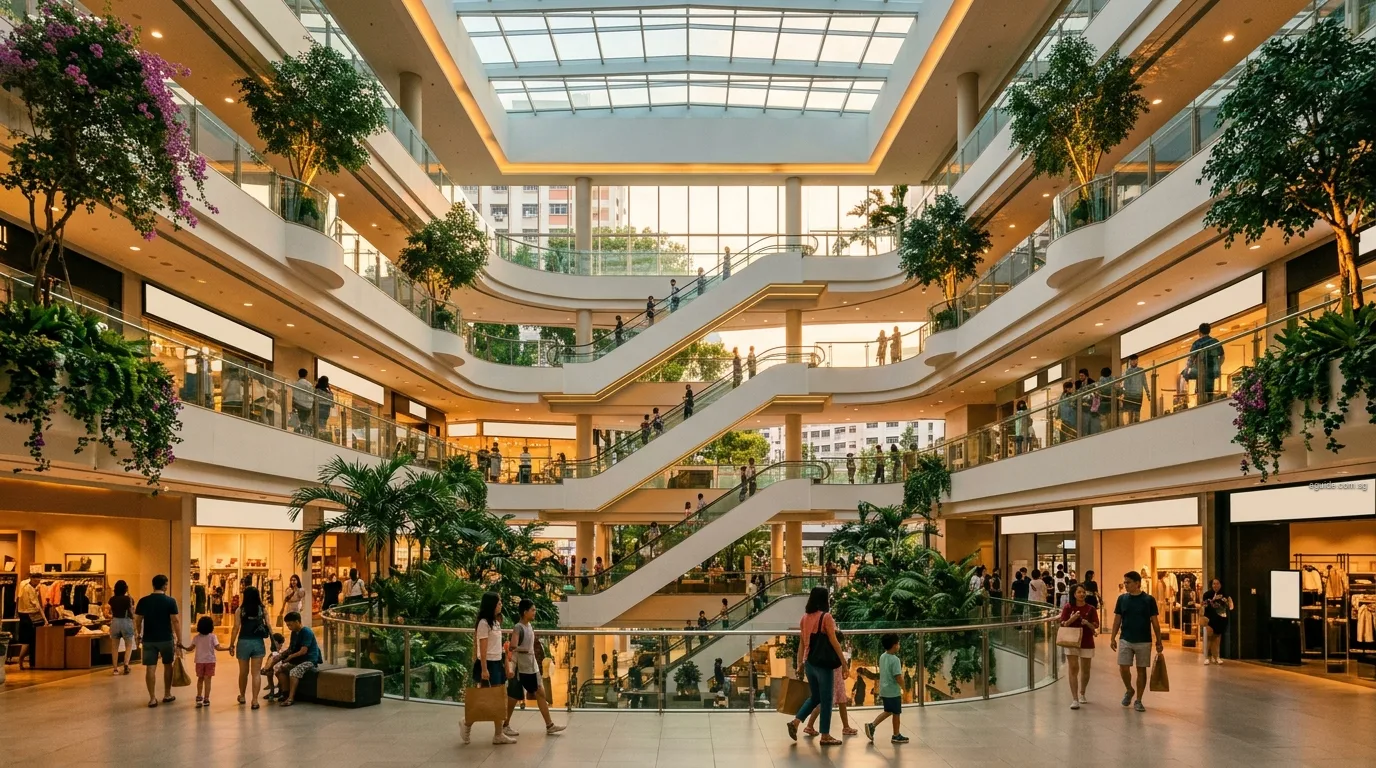
Topic
How Singapore plans its shopping, from Orchard Road to the neighbourhood centre downstairs.
Shopping in Singapore follows a plan. URA's Master Plan spreads commercial centres across the island so that most errands can be done close to home, and HDB builds every town with a hierarchy of shops, from a town centre at its heart to small clusters among the blocks. The city keeps the biggest draws: the Orchard Road belt, the malls around Marina Bay and the older shopping streets of Bugis, Kampong Gelam and Little India.
These explainers set out how that system works, where the main centres are, and what each neighbourhood can expect within walking distance. They use URA's planning documents, HDB's and the Ministry of National Development's descriptions of town planning, and NEA's register of markets and hawker centres. Each neighbourhood guide adds the local detail, from its town centre to its markets.
Where the city does its shopping, from the Orchard Road belt to the covered market at Bugis and the streets of Kampong Gelam and Little India.
Why Tampines, Woodlands and Jurong have centres of their own, and how town centres fit beneath them.
The shops most people use every week, and how HDB plans them so that daily needs are close to every block.
Other topics: Education · Transport · Money · Family · Expat · Things to do · Food
Last updated