Most shopping in Singapore happens close to home, but the city still holds the biggest and best-known shopping areas. Orchard Road is the main retail belt, lined with large malls from end to end. A short ride east, the older districts of Bugis, Kampong Gelam and Little India offer covered markets, small boutiques and shops that stay open late. This explainer covers what each area is, how URA plans it, and which stations serve it.
Orchard Road: the main shopping belt
URA's planning guidance describes Orchard Road as predominantly a lifestyle and retail belt, with a tree-lined pedestrian mall running along it. Buildings along it are set back from the road by 7.6 m or 11.6 m, depending on the stretch. The main shopping stretch lies around Orchard and Somerset stations.
The scale is large. The Ministry of Trade and Industry counts more than 5,000 establishments in the Orchard precinct.
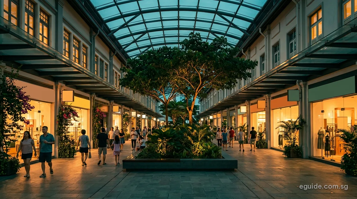
Plans to renew Orchard Road
URA's plans for Orchard Road aim to bring more people back to the street itself, under the banner "Bring back the Orchard". The key projects include a destination park that will join Dhoby Ghaut Green, Istana Park and a 500 m stretch of Orchard Road into one green space at the eastern end of the belt, and an integrated development above Orchard MRT station, where the North-South and Thomson-East Coast lines meet.
For residents of nearby areas, these plans matter as much as the shops do. The Orchard planning area has few homes of its own, but River Valley, Tanglin and Newton, all close by, are among the most central places to live. Our area pages for Orchard, River Valley and Tanglin set out who lives there and what is nearby.
Getting to Orchard Road
Four stations serve the belt. From west to east:
- Orchard Boulevard (TE13) on the Thomson-East Coast Line, at the western end near Tanglin.
- Orchard (NS22 and TE14), the interchange at the heart of the belt.
- Somerset (NS23) on the North-South Line, in the middle of the shopping stretch.
- Dhoby Ghaut (NS24, NE6 and CC1), a three-line interchange at the eastern end.
Because the Thomson-East Coast Line now runs under Orchard Road, residents of Woodlands, Bishan, Marine Parade and the East Coast can reach the belt without changing trains. Our MRT and LRT guide has the details of every line.
Bugis Street and Bugis+
East of the city centre, Bugis is a different kind of shopping area. Bugis Street, at 3 New Bugis Street next to Bugis MRT station, is a covered market spread over three storeys, with the upper two levels air-conditioned. It is filled with small stalls selling clothes, accessories and souvenirs.
Across the road stands Bugis+, a ten-storey mall. Together with Bugis Junction, they make the area around Bugis station, an interchange of the East-West and Downtown lines, one of the main shopping nodes outside Orchard.
The two kinds of shopping sit side by side here. A visitor can move from the stalls of a covered market to the chain stores of a multi-storey mall within a few minutes on foot, and then on to the conservation streets of Kampong Gelam to the north. That mix, and the two rail lines that serve it, are what make Bugis a good starting point for a day in the city.
Kampong Gelam and Haji Lane
North of Bugis is Kampong Gelam, one of URA's historic districts, centred on Sultan Mosque. Its conservation shophouses now hold restaurants, cafés, carpet and textile shops, and on Haji Lane a row of small independent boutiques. The district is a short walk from Bugis station. Our Rochor guide covers the area around it.
Five-foot ways and covered streets
The older districts offer a different kind of cover from the malls. Their shophouses are built with five-foot ways, the continuous covered walkways along the shop fronts, so that shoppers can walk from one shop to the next out of the sun and rain. In URA's historic districts the shophouses are conserved, and the five-foot ways are kept as public walkways rather than built over. Bugis Street takes the idea indoors, roofing over a whole market street, while Orchard Road's malls are linked by covered walkways and underpasses.
Little India and Mustafa Centre
Further north, Little India is another of URA's historic districts, with shophouse streets around Serangoon Road selling spices, gold, textiles and flowers. Its best-known store, Mustafa Centre, is a large department store that stays open late into the night. The district is served by Little India station, an interchange of the North East and Downtown lines, and by Farrer Park and Rochor stations.
The Marina Bay malls and the city centre
At the southern end of the city, the malls around Marina Bay and City Hall, several of them linked to stations by underground walkways, make up a third shopping area, busy with office workers on weekdays. Our Downtown Core guide lists its stations and amenities, and our city hawker centres article covers where to eat.
Planning a day in the city
The city's shopping areas sit close together on the rail map, so it is easy to combine them. The Downtown Line links Bugis, Rochor and Little India in two stops. The Thomson-East Coast Line runs from Orchard to Marina Bay without a change, and the North-South Line links Orchard, Somerset and Dhoby Ghaut with City Hall and Raffles Place. From Dhoby Ghaut, the North East Line reaches Little India in one stop and Chinatown in two.
Who lives near the shopping streets
Few people live in the heart of the shopping districts. SingStat's June 2026 counts give 1,550 residents in the Orchard planning area, 6,230 in the Downtown Core and 12,640 in Rochor, which takes in Kampong Gelam. More live just beyond them: River Valley had 13,350 residents and Tanglin 25,190, both a short ride or walk from Orchard Road. Our area pages give the details for each.
Which area suits what
| Area | What it offers | Nearest stations |
|---|---|---|
| Orchard Road | Large malls, department stores, flagship stores | Orchard, Somerset, Dhoby Ghaut, Orchard Boulevard |
| Bugis | Covered market stalls, malls | Bugis |
| Kampong Gelam | Boutiques, textiles, cafés in conservation shophouses | Bugis |
| Little India | Spices, gold, textiles, late-night department store | Little India, Farrer Park, Rochor |
| Marina Bay and the CBD | Malls linked to offices and stations | Raffles Place, City Hall, Bayfront, Marina Bay |
Frequently asked questions
Which MRT station is best for Orchard Road?
Orchard (NS22 and TE14) is at the heart of the belt; Somerset and Dhoby Ghaut serve the stretch to the east.
Is Bugis Street indoors?
Yes. It is a covered market on three storeys, and the upper two levels are air-conditioned.
What is planned for Orchard Road?
URA plans a destination park joining Dhoby Ghaut Green, Istana Park and a 500 m stretch of the road, and an integrated development above Orchard station.
Where can I shop late at night?
Mustafa Centre in Little India is known for staying open late.
How do I get from Orchard Road to Bugis by MRT?
Take the North-South Line from Orchard or Somerset to City Hall, then the East-West Line one stop to Bugis.
Is Haji Lane part of Kampong Gelam?
Yes. Haji Lane is one of the streets of the Kampong Gelam historic district, a short walk from Bugis station.
Sources
- URA, Orchard Road planning guidance: lifestyle and retail belt, pedestrian mall, building setbacks, "Bring back the Orchard", the destination park and the integrated development above Orchard station.
- Ministry of Trade and Industry: number of establishments in the Orchard precinct.
- National Library Board and Singapore Tourism Board: Bugis Street, Bugis+, Haji Lane and Mustafa Centre.
- URA, Conservation Programme and historic districts (Little India, Kampong Glam).
- Land Transport Authority, rail system map and MRT station exits (data.gov.sg, 18 October 2026).