The North East Line is the purple line on the map. It runs about 22 km from HarbourFront on the southern coast to Punggol Coast in the north-east, with 17 stations, all underground. Its codes start with NE, and SBS Transit operates it. When it opened in 2003, LTA notes, it was the world's first fully automated, underground, driverless heavy rail line, and it was also the first line in Singapore built from the start with accessibility features such as lifts and tactile guidance for passengers with visual impairments. This page belongs to our MRT and LRT guide.
For the north-eastern towns, the North East Line is the main way into the city. Sengkang and Punggol both have LRT networks that feed into its stations.
The route
From HarbourFront on the southern waterfront, the line heads north under Outram Park and Chinatown. It passes Clarke Quay on the Singapore River, then Dhoby Ghaut at the city end of Orchard Road. From Little India and Farrer Park it runs through Boon Keng and Potong Pasir to Woodleigh and Serangoon, where it meets the Circle Line.
North-east of Serangoon it serves Kovan and Hougang, then Buangkok and Sengkang, then Punggol. The newest station, Punggol Coast, lies beyond Punggol in the Punggol Digital District, close to the northern shore.
Stations in order
There is no NE2 on today's map, so the codes run NE1, then NE3 to NE18. The table gives each station with any other lines that share it and the eGuide area page for the planning area holding its exits.
Stations in service, in order (17)
| Code | Station | Other lines here | eGuide area |
|---|---|---|---|
| NE1 | HarbourFront | CC29 | Bukit Merah |
| NE3 | Outram Park | EW16TE17 | Bukit Merah, Outram |
| NE4 | Chinatown | DT19 | Outram |
| NE5 | Clarke Quay | – | Singapore River |
| NE6 | Dhoby Ghaut | NS24CC1 | Museum |
| NE7 | Little India | DT12 | Kallang, Rochor |
| NE8 | Farrer Park | – | Kallang, Rochor |
| NE9 | Boon Keng | – | Kallang |
| NE10 | Potong Pasir | – | Toa Payoh |
| NE11 | Woodleigh | – | Toa Payoh |
| NE12 | Serangoon | CC13 | Serangoon |
| NE13 | Kovan | – | Hougang |
| NE14 | Hougang | CR8 2030 | Hougang |
| NE15 | Buangkok | – | Sengkang |
| NE16 | Sengkang | STC | Sengkang |
| NE17 | Punggol | PTCCP4 2032 | Punggol |
| NE18 | Punggol Coast | – | Punggol |
Where to change lines
- HarbourFront (NE1) for the Circle Line.
- Outram Park (NE3) for the East-West and Thomson-East Coast lines.
- Chinatown (NE4) for the Downtown Line.
- Dhoby Ghaut (NE6) for the North-South and Circle lines.
- Little India (NE7) for the Downtown Line.
- Serangoon (NE12) for the Circle Line.
- Sengkang (NE16) for the Sengkang LRT.
- Punggol (NE17) for the Punggol LRT.
Two further links are coming with the Cross Island Line. Hougang (NE14) is set to become an interchange at CR8, which LTA targets for 2030, and Punggol (NE17) will gain CP4 on the Punggol Extension in 2032.
How the line opened
SBS Transit began running the North East Line on 20 June 2003. It was the third MRT line, after the North-South and East-West lines, and the first to be run by SBS Transit rather than SMRT. The Sengkang LRT, which feeds the line at Sengkang, had started a few months earlier, in January 2003, and the Punggol LRT followed in January 2005.
For more than two decades Punggol was the end of the line. That changed at 3pm on 10 December 2024, when LTA opened Punggol Coast (NE18), a one-stop extension serving the Punggol Digital District and the homes near the northern coast. LTA's figures for the network at the end of 2024 include this extension.
A driverless pioneer
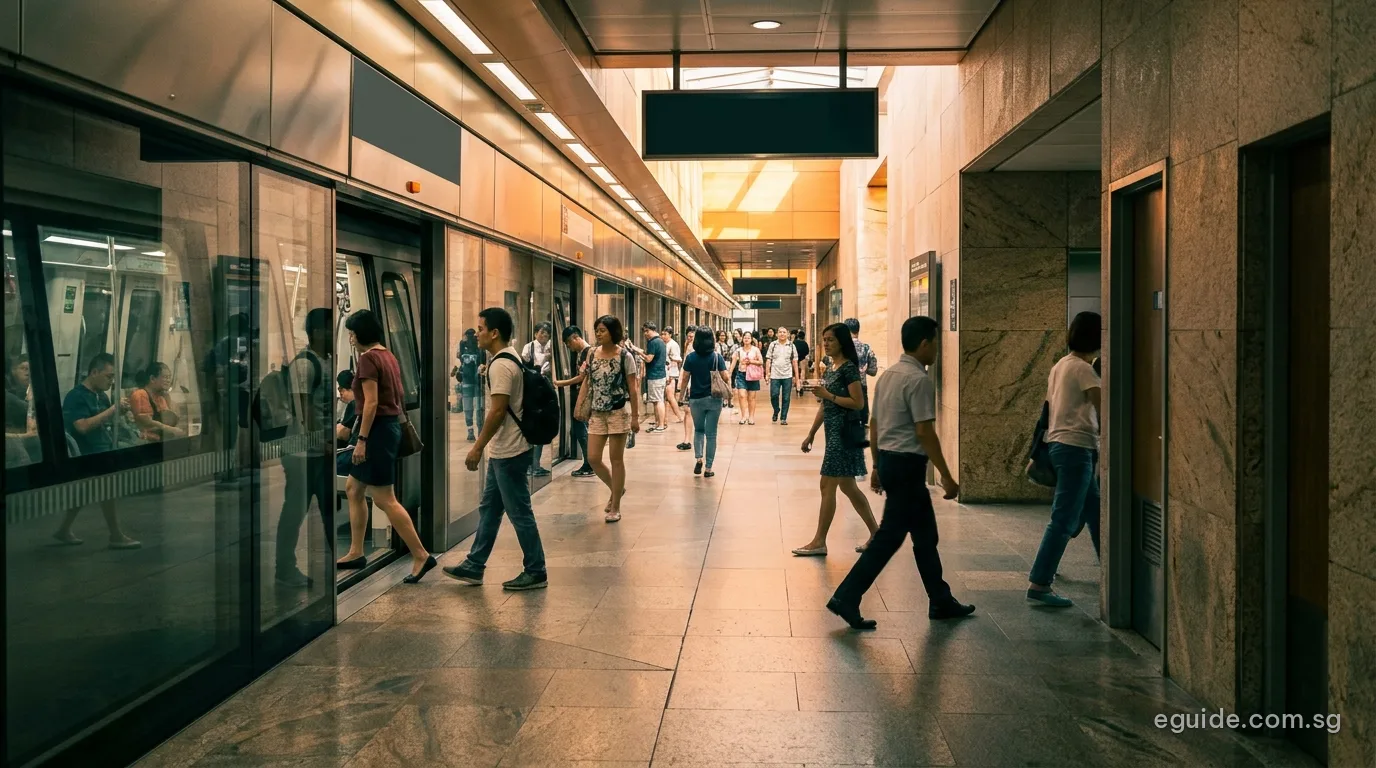
Every train on the line runs without a driver in the cab. Like other underground stations, its platforms have full-height screen doors, and the line was among the first to be designed for passengers using wheelchairs, prams or walking aids, with lifts and barrier-free routes planned in from the start.
Its tunnels pass beneath some of the oldest parts of the city, including Chinatown, Clarke Quay and Little India.
Areas served
The North East Line has exits in Bukit Merah, Outram, the Singapore River area, the Museum planning area, Rochor, Kallang, Toa Payoh, Serangoon, Hougang, Sengkang and Punggol.
eGuide area pages on this route: Bukit Merah, Outram, Singapore River, Museum, Kallang, Rochor, Toa Payoh, Serangoon, Hougang, Sengkang, Punggol.
| Planning area | URA region | Stations open | Stations announced | Residents (June 2026) | eGuide page |
|---|---|---|---|---|---|
| Bukit Merah | Central | 2 | 0 | 144,690 | Full guide |
| Outram | Central | 2 | 0 | 17,010 | Area profile |
| Singapore River | Central | 1 | 0 | 4,770 | Area profile |
| Museum | Central | 1 | 0 | 860 | Area page |
| Kallang | Central | 3 | 0 | 102,550 | Area profile |
| Rochor | Central | 2 | 0 | 12,640 | Full guide |
| Toa Payoh | Central | 2 | 0 | 148,940 | Area profile |
| Serangoon | North-East | 1 | 0 | 115,860 | Area profile |
| Hougang | North-East | 2 | 0 | 226,100 | Full guide |
| Sengkang | North-East | 2 | 0 | 265,830 | Full guide |
| Punggol | North-East | 2 | 0 | 204,490 | Area profile |
A station on a boundary counts in each area it touches. Residents: SingStat, June 2026; the 11 areas together had 1,243,740 residents.
Among our full guides, Hougang and Sengkang depend on it more than on any other line. Sengkang has two of its stations plus the whole Sengkang LRT, and Hougang has Kovan and Hougang. In the south, it gives Bukit Merah's HarbourFront area and Rochor's Little India a direct line to the north-east.
Living along the North East Line
The three towns at the north-eastern end of the line are among the largest in Singapore. In June 2026 SingStat counted 265,830 residents in Sengkang, 226,100 in Hougang and 204,490 in Punggol, close to 700,000 people between them. For most of them, the North East Line is the only MRT line inside their town today, which is why the Cross Island Line's stations at Hougang and on the Punggol Extension matter so much to these areas.
The line also passes through a very different kind of place on its way. Between Dhoby Ghaut and Outram Park it runs beneath the conservation districts and the Singapore River, where few people live but many work, shop and eat. Little India, Farrer Park and Boon Keng serve older estates and shophouse streets in Rochor and Kallang, and Potong Pasir and Woodleigh serve the eastern side of the Toa Payoh planning area.
Using the line day to day
Fares on the North East Line are the same distance-based fares as on every other line, and a journey that continues onto the Sengkang or Punggol LRT counts as one trip. The fares section of our MRT guide lists the bands in force and the change on 26 December 2026. Because the line was designed for accessibility from the start, every station has lifts between the street and the platform.
For riders from Sengkang and Punggol, the main change points are Serangoon, for the Circle Line, and Dhoby Ghaut, for the North-South Line and Orchard Road. Riders heading to the financial district can change at Outram Park for the East-West Line or the Thomson-East Coast Line, or at Chinatown for the Downtown Line.
Frequently asked questions
Who operates the North East Line?
SBS Transit, which also runs the Downtown Line and the Sengkang and Punggol LRT.
When did Punggol Coast station open?
At 3pm on 10 December 2024. It is now the northern end of the line.
Is the North East Line driverless?
Yes. LTA describes it as the world's first fully automated, underground, driverless heavy rail line.
Which station links to Sentosa?
HarbourFront (NE1), which is also on the Circle Line, is the nearest station to the routes across to Sentosa.
Which towns rely most on the line?
Sengkang, Hougang and Punggol, which together had close to 700,000 residents in June 2026, have no other MRT line inside the town today.
Can I change to the LRT without paying again?
Yes. A trip that continues from the North East Line onto the Sengkang or Punggol LRT is charged as one journey by distance.
Sources
- Land Transport Authority, North East Line page: length, stations, automation and accessibility features.
- SBS Transit: start of service dates for the North East Line (20 June 2003), Sengkang LRT and Punggol LRT.
- Land Transport Authority news release on the opening of Punggol Coast station (10 December 2024) and length of the rail network (end-2024).
- Land Transport Authority, rail system map and MRT station exits (data.gov.sg, 18 October 2026).