An interchange is a station shared by two or more lines, where you can change trains without leaving the paid area. On LTA's station codes it is easy to spot: an interchange carries one code for each line it serves, so Dhoby Ghaut is NS24, NE6 and CC1 at once. Counting the station names on our station list, 29 stations in service today join two or more lines, the MRT to the LRT included, and LTA's plans add another fourteen interchanges or new links between now and the late 2030s. This article lists them all, says which planning area each one sits in, and explains why a few of them matter far more than the rest. Every one is marked with a larger dark ring on our network map.
Three stations that join three lines
Three interchanges serve three MRT lines each. Dhoby Ghaut, at the top of Orchard Road, joins the North-South, North East and Circle lines; it opened in December 1987 and was the first station in Singapore to be shared by three lines. Outram Park, whose exits LTA records in both Outram and Bukit Merah, joins the East-West, North East and Thomson-East Coast lines. Marina Bay joins the North-South, Circle and Thomson-East Coast lines, and since Circle Line Stage 6 opened in July 2026 it sits on the loop itself rather than at the end of a short spur.
Jurong East is the next to reach three lines: it already joins the North-South and East-West lines, and the Jurong Region Line's east branch adds a third code, JE5, on a date to follow. Choa Chu Kang, which links the North-South Line with the Bukit Panjang LRT, gains the Jurong Region Line too, as JS1.
Interchanges in service today
The table lists every station with two or more codes in service, in alphabetical order, with the planning area that holds its exits. A station whose exits fall in two planning areas shows both.
Interchanges in service today (29 stations)
| Station | Codes | Lines | eGuide area |
|---|---|---|---|
| Bayfront | CC34DT16 | 2 | Downtown Core |
| Bishan | NS17CC15 | 2 | Bishan |
| Botanic Gardens | CC19DT9 | 2 | Tanglin |
| Bugis | EW12DT14 | 2 | Downtown Core |
| Bukit Panjang | DT1BP6 | 2 | Bukit Batok, Bukit Panjang, Choa Chu Kang |
| Buona Vista | EW21CC22 | 2 | Queenstown |
| Caldecott | CC17TE9 | 2 | Toa Payoh |
| Chinatown | NE4DT19 | 2 | Outram |
| Choa Chu Kang | NS4BP1 | 2 | Choa Chu Kang |
| City Hall | NS25EW13 | 2 | Downtown Core |
| Dhoby Ghaut | NS24NE6CC1 | 3 | Museum |
| Expo | CG1DT35 | 2 | Tampines |
| HarbourFront | NE1CC29 | 2 | Bukit Merah |
| Jurong East | NS1EW24 | 2 | Jurong East |
| Little India | NE7DT12 | 2 | Kallang, Rochor |
| MacPherson | CC10DT26 | 2 | Geylang |
| Marina Bay | NS27CC33TE20 | 3 | Downtown Core, Straits View |
| Newton | NS21DT11 | 2 | Newton |
| Orchard | NS22TE14 | 2 | Orchard, River Valley |
| Outram Park | EW16NE3TE17 | 3 | Bukit Merah, Outram |
| Paya Lebar | EW8CC9 | 2 | Geylang |
| Promenade | CC4DT15 | 2 | Downtown Core |
| Punggol | NE17PTC | 2 | Punggol |
| Raffles Place | NS26EW14 | 2 | Downtown Core |
| Sengkang | NE16STC | 2 | Sengkang |
| Serangoon | NE12CC13 | 2 | Serangoon |
| Stevens | DT10TE11 | 2 | Novena, Tanglin |
| Tampines | EW2DT32 | 2 | Tampines |
| Woodlands | NS9TE2 | 2 | Woodlands |
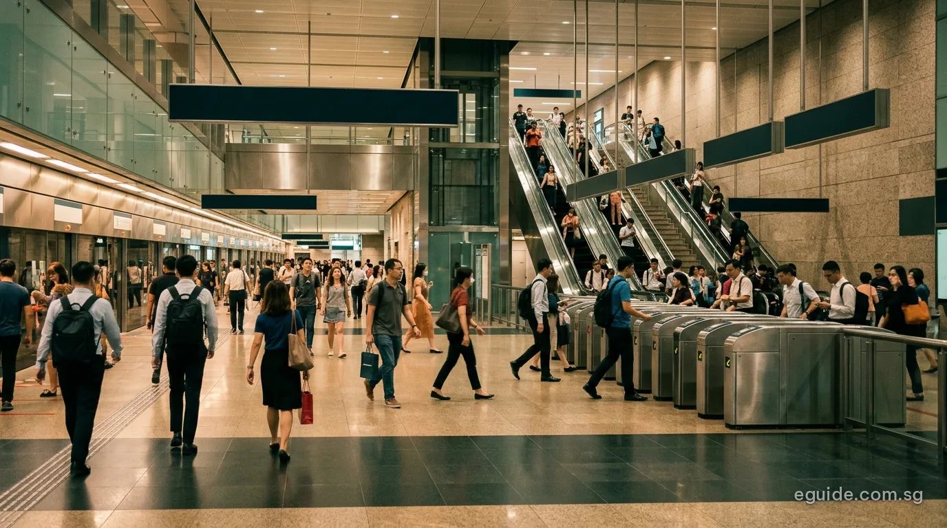
The interchanges that shape trips across the island
In the city, the North-South and East-West lines meet at City Hall and Raffles Place, a pairing that dates from 1987. The Downtown Line crosses the older lines at Bugis, Chinatown, Little India, Newton, Promenade and Bayfront, and the Thomson-East Coast Line meets them at Orchard, Outram Park, Marina Bay and Stevens. For anyone travelling through the city centre these stations offer several routes between the same two points.
Outside the centre, the Circle Line is the reason so many suburbs connect without passing through the city. It meets the North-South Line at Bishan, the North East Line at Serangoon, the East-West Line at Paya Lebar and Buona Vista, the Downtown Line at Botanic Gardens and MacPherson, and the Thomson-East Coast Line at Caldecott. A rider from Serangoon heading to Buona Vista, for example, can stay on one line all the way.
Towards the ends of the lines, the main changes are at Woodlands, where the North-South and Thomson-East Coast lines meet; at Tampines and Expo, where the Downtown Line meets the East-West Line and its airport branch; and at HarbourFront, where the North East Line begins and meets the Circle Line. The three LRT systems meet the MRT at Choa Chu Kang and Bukit Panjang for the Bukit Panjang LRT, at Sengkang for the Sengkang LRT and at Punggol for the Punggol LRT.
How many interchanges each line has
Counting the stations on each line that carry a second code in service, the Circle Line and the Downtown Line have the most, twelve each. That fits their purpose: the Circle Line was built to link the other lines around the city, and the Downtown Line crosses most of them on its way from the north-west to the east.
| Line | Interchanges in service | Where |
|---|---|---|
| North-South Line | 10 | Jurong East, Choa Chu Kang, Woodlands, Bishan, Newton, Orchard, Dhoby Ghaut, City Hall, Raffles Place, Marina Bay |
| East-West Line | 9 | Tampines, Expo, Paya Lebar, Bugis, City Hall, Raffles Place, Outram Park, Buona Vista, Jurong East |
| North East Line | 8 | HarbourFront, Outram Park, Chinatown, Dhoby Ghaut, Little India, Serangoon, Sengkang, Punggol |
| Circle Line | 12 | Dhoby Ghaut, Promenade, Paya Lebar, MacPherson, Serangoon, Bishan, Caldecott, Botanic Gardens, Buona Vista, HarbourFront, Marina Bay, Bayfront |
| Downtown Line | 12 | Bukit Panjang, Botanic Gardens, Stevens, Newton, Little India, Bugis, Promenade, Bayfront, Chinatown, MacPherson, Tampines, Expo |
| Thomson-East Coast Line | 6 | Woodlands, Caldecott, Stevens, Orchard, Outram Park, Marina Bay |
| LRT lines | 4 | Choa Chu Kang, Bukit Panjang, Sengkang, Punggol |
Among the MRT lines, the Thomson-East Coast Line has the fewest, six. Much of its route runs through areas no older line served, such as Upper Thomson and Marine Parade.
Interchanges LTA has announced
The next interchange opens on 26 December 2026, when Sungei Bedok becomes the meeting point of the Thomson-East Coast Line's fifth stage and the Downtown Line's eastern extension. After that, most new interchanges come with the Cross Island Line and the Jurong Region Line. An outlined code in the table belongs to a line that is not open, with LTA's target year beside it.
Interchanges LTA has announced (14 stations)
| Station | Open today | Announced, with LTA target | eGuide area |
|---|---|---|---|
| Ang Mo Kio | NS16 | CR11 · 2030 | Ang Mo Kio |
| Boon Lay | EW27 | JS8 · mid-2028 | Jurong West |
| Bright Hill | TE7 | CR13 · 2030 | Bishan |
| Choa Chu Kang | NS4BP1 | JS1 · mid-2028 | Choa Chu Kang |
| Clementi | EW23 | CR17 · 2032 | Clementi |
| Gul Circle | EW30 | CR23 · late 2030s | Pioneer, Tuas |
| Hougang | NE14 | CR8 · 2030 | Hougang |
| Jurong East | NS1EW24 | JE5 · date to follow | Jurong East |
| King Albert Park | DT6 | CR15 · 2032 | Bukit Timah |
| Pasir Ris | EW1 | CR5 · 2030 | Pasir Ris |
| Punggol | NE17PTC | CP4 · 2032 | Punggol |
| Riviera | PE4 | CP3 · 2032 | Punggol |
| Sungei Bedok | – | DT37 · 26 Dec 2026TE31 · 26 Dec 2026 | Bedok |
| Sungei Kadut | – | NS6 · 2035DE2 · 2035 | Sungei Kadut |
The Cross Island Line's first phase, targeted for 2030, links to the existing network at Pasir Ris, Hougang, Ang Mo Kio and Bright Hill. Its second phase, targeted for 2032, adds links at King Albert Park and Clementi, and its Punggol Extension, also targeted for 2032, adds Punggol and Riviera, where it meets the Punggol LRT. The third phase, targeted for the late 2030s, ends at Gul Circle on the East-West Line. The Jurong Region Line connects at Choa Chu Kang, Boon Lay and Jurong East. In the north, the Downtown Line's extension to Sungei Kadut and the new North-South Line station there are both targeted for 2035 and form an interchange of their own.
LTA's annual report for 2024/25 also lists an extension of the Thomson-East Coast and Cross Island lines to Changi Airport Terminal 5 for the mid-2030s; our Changi Airport by MRT article covers what that means for the airport.
How codes and colours help at an interchange
Station signs at an interchange use the same coloured code tags that appear on our map, our line pages and every eGuide neighbourhood guide. Following the tag for your line is usually enough: if you are changing from the North-South Line to the Circle Line at Bishan, look for the orange CC15 tag rather than the station name. The numbers on the tags rise or fall along the line, so comparing your destination's number with the station you are at tells you which platform to take.
Because train fares are worked out from the distance between where you tap in and where you tap out, changing lines at an interchange does not add a separate charge; our fares and payment article explains the details. The trip is charged as one journey even when it crosses from an SMRT line to an SBS Transit line.
Interchanges and the neighbourhoods around them
Living near an interchange gives a household more than one way to get around, and a second route when one line is disrupted. Several eGuide neighbourhoods have more than one interchange inside their boundary: the Downtown Core holds City Hall, Raffles Place, Marina Bay, Bugis, Promenade and Bayfront, and Tampines has both Tampines and Expo. Each guide lists its stations with their codes, and our stations by planning area table sets all of them side by side.
Frequently asked questions
Which MRT stations serve three lines?
Dhoby Ghaut (North-South, North East and Circle), Outram Park (East-West, North East and Thomson-East Coast) and Marina Bay (North-South, Circle and Thomson-East Coast).
What is the next new interchange?
Sungei Bedok, which opens on 26 December 2026 as an interchange between the Thomson-East Coast and Downtown lines.
Does changing lines cost extra?
No. The fare depends on the distance between the station where you tap in and the one where you tap out, however many lines you use.
How can I tell an interchange on a station sign?
It shows more than one coloured code tag, one for each line.
Sources
- Land Transport Authority, rail system map and line pages (station codes and interchanges).
- Land Transport Authority, station exit records on data.gov.sg, placed on URA's Master Plan 2025 planning-area boundaries.
- Land Transport Authority, news release of 4 November 2026 on TEL5 and DTL3e; Cross Island Line and Jurong Region Line project pages; Annual Report 2024/25.
- SMRT, opening of Dhoby Ghaut in December 1987.